
Hurricane Helene Update: The Benefits of Refined Hurricane Wind Footprints
pre event
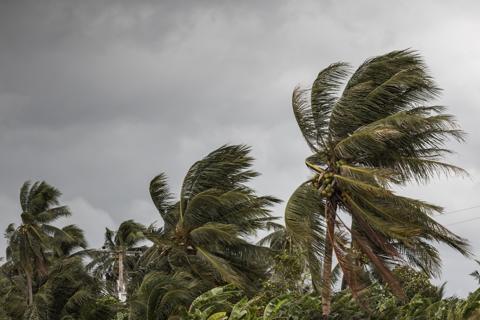
Hurricane Helene
The next slide contains a comparison of NOAA and licensed Juniper Re hazard data for Helene as of the morning of 9/26/24 (local time).
Key differences remain the granularity of wind field and broad categorization of wind speeds.
Interestingly, hurricane-force winds cease before land impact for NOAA. This runs contrary to their key message, “Damaging and life-threatening hurricane-force winds, especially in gusts, will penetrate well inland over portions of northern Florida and southern Georgia later today and tonight, where Hurricane Warnings are in effect.” This phenomenon persisted into NOAA’s 2 pm EDT data release, but did change with their 5 pm EDT release to align with their message.
Hurricane-force winds did carry into land for the footprint from Juniper Re, although limited.

USING A NATIONWIDE MARKET SHARE SAMPLE DATA
60% more risks
were exposed to tropical storm-force winds (39+ mph) according to Juniper, compared to NOAA.
The difference was driven by the eastern Florida and South Carolina. With anticipated landfall this evening, reality will become apparent soon.
